

Vai al contenuto
Via Francigena del Sud Salento — torna alla pagina iniziale
Via Francigena

Stage 43 From Otranto to Vignacastrisi

Otranto towards Vignacastrisi

Otranto Ortelle

Download the GPX track To be loaded into the GPS navigator or the app you use for walking.

Leaving Otranto, the route follows the coast and the southern inland through Mediterranean paths, ancient towers, and sea views. It is a stage rich in natural suggestions, where the landscape becomes the protagonist along with the numerous historical testimonies scattered along the way.

Variants and deviations

Alternative sections that branch off from this stage. Accessible deviations have been designed for those moving in a wheelchair.

What you encounter

Places within 2,5 km from the route, from nearest to farthest.

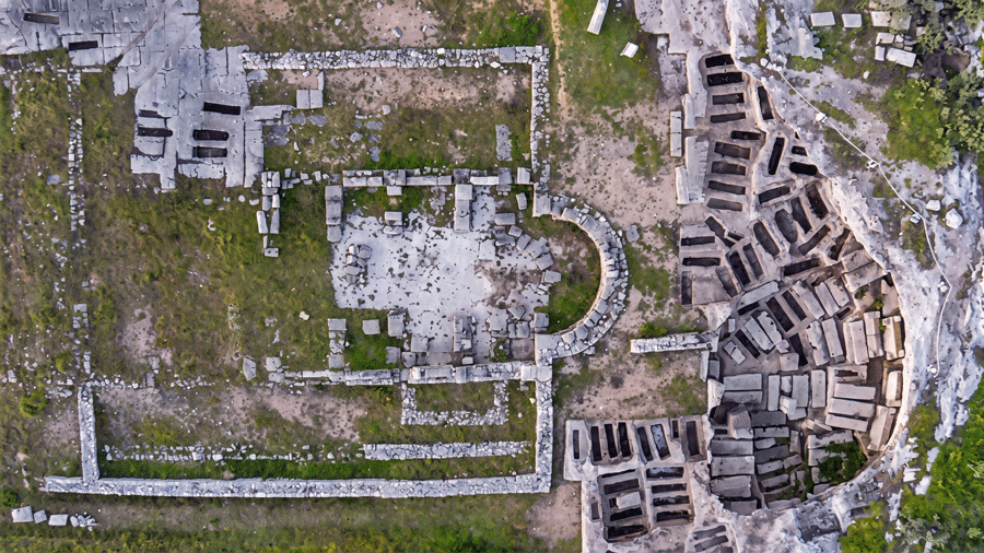
Chiesa Rupestre Santi Stefani

Poggiardo · 2,1 km from the path

La cripta dei Santi Stefani si trova nel cuore del parco archeologico di Vaste, antica città messapica: questo testimonia la continuità di vita del s…

View card — Chiesa Rupestre Santi Stefani

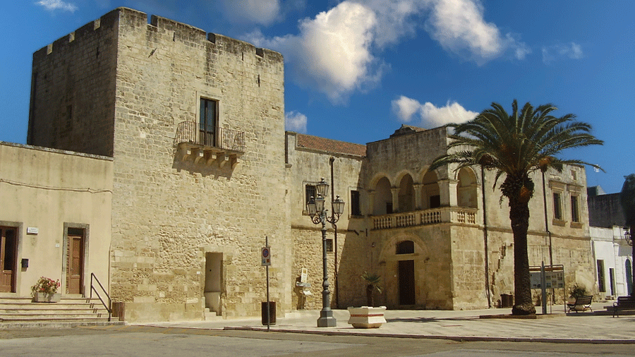
Museo archeologico della civiltà messapica

Poggiardo · 2,2 km from the path

Accessibility detected

Il Museo Archeologico della Civiltà Messapica ha sede a Vaste, frazione di Poggiardo, nel Palazzo Baronale di piazza Dante, edificato e rimaneggiato …

View card — Museo archeologico della civiltà messapica

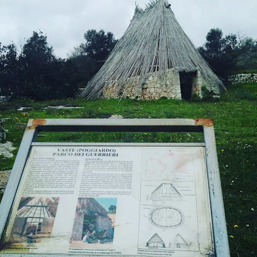
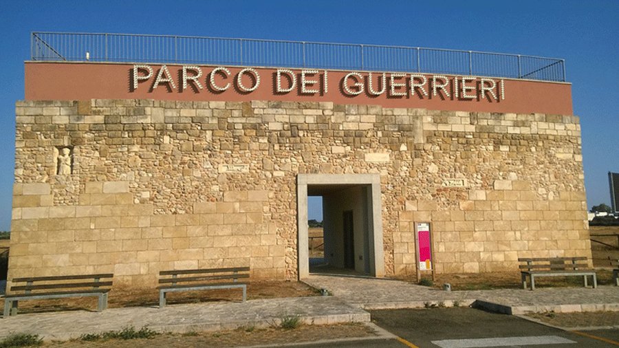
Parco dei Guerrieri

Poggiardo · 2,4 km from the path

Il Parco dei Guerrieri sorge a Vaste, il piccolo comune del Salento identificato con l'antica Basta, uno dei centri messapici più importanti della zo…

View card — Parco dei Guerrieri

Did you encounter an obstacle?

If along this stage you found a barrier — a step, an impassable ground, a passage too narrow — report it. It helps those who come after you, and those who need to intervene.

Report a barrier